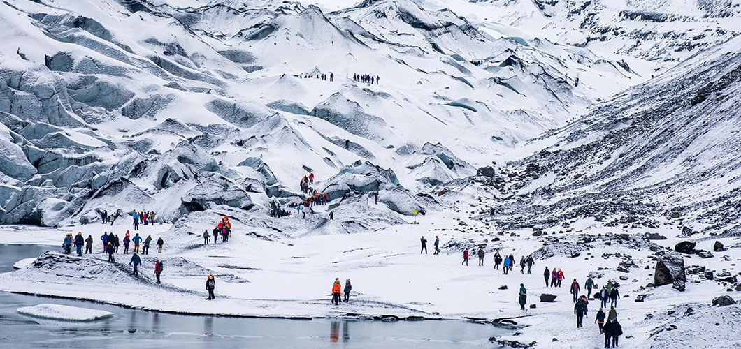
In 2023-24, the snow cover across the river basins declined to 17,437.4 square Kilometer.
Snow cover in Himachal Pradesh is steadily declining, with the total snowfall area across the Chenab, Beas, Ravi, and Satluj river basins falling to 17,437.4 square kilometres in 2023-24. This represents a 12.72% drop compared to the winter of 2022-23, according to a report by the Himachal Pradesh State Centre on Climate Change (SCCC). Environmentalists have termed the phenomenon a “Snow Drought.”
The findings are based on mapping of the four river basins using Advanced Wide Field Sensor (AWiFS) satellite data. Historically, the snow cover has fluctuated: it was 20,210 sq km in 2018-19, peaked at 23,542 sq km in 2019-20, declined to 19,183 sq km in 2020-21, rose again to 23,244 sq km in 2021-22, and stood at 19,979 sq km in 2022-23. Among the basins, Satluj recorded the highest snow cover at 8,868 sq km in 2022-23, followed by Chenab (7,049.67 sq km), Beas (2,174 sq km), and Ravi (1,886 sq km).
While most river basins showed a decline in snow cover from October to January in 2022-23, there was some recovery between February and April, indicating heavier snowfall later in the season.
The report highlights that climate change is likely driving this decline, with rising winter temperatures, shifting precipitation patterns, and more frequent extreme weather events being major factors. Integrated climate adaptation measures and continued monitoring are crucial to protect agriculture, hydrology, and biodiversity in the Himalayan region.
Over the past two decades, Shimla and Manali have recorded a sharp decrease in snowfall, with both tourist destinations yet to see snow this winter. Higher reaches of Kullu are mostly snow-free, and high-altitude areas of Lahaul-Spiti and Kinnaur have seen little to no snowfall. Environmentalists attribute these trends to greenhouse gas emissions, unsustainable development, and energy-intensive industries.
Guman Singh, coordinator of the Himalaya Niti Abhiyan, said that weak western disturbances from the Mediterranean fail to cross the Hindukush ranges, causing delayed and reduced snowfall. “Earlier, snow would start in November and last till March, but now it begins in January and sometimes continues until April,” he explained. Singh also pointed to mining, deforestation for urban projects, and hydel projects as contributing to environmental damage.
Meanwhile, a cold wave is expected to intensify in the coming days. The India Meteorological Department (IMD) issued a yellow warning for Kangra, Una, Bilaspur, Hamirpur, and Mandi districts for January 19-20. A yellow warning for heavy snowfall in the higher reaches has also been issued for January 23, as two western disturbances are expected to bring rain and snow to northwest India from January 19 to 21.
